Posts

PhD Research Topic

Image
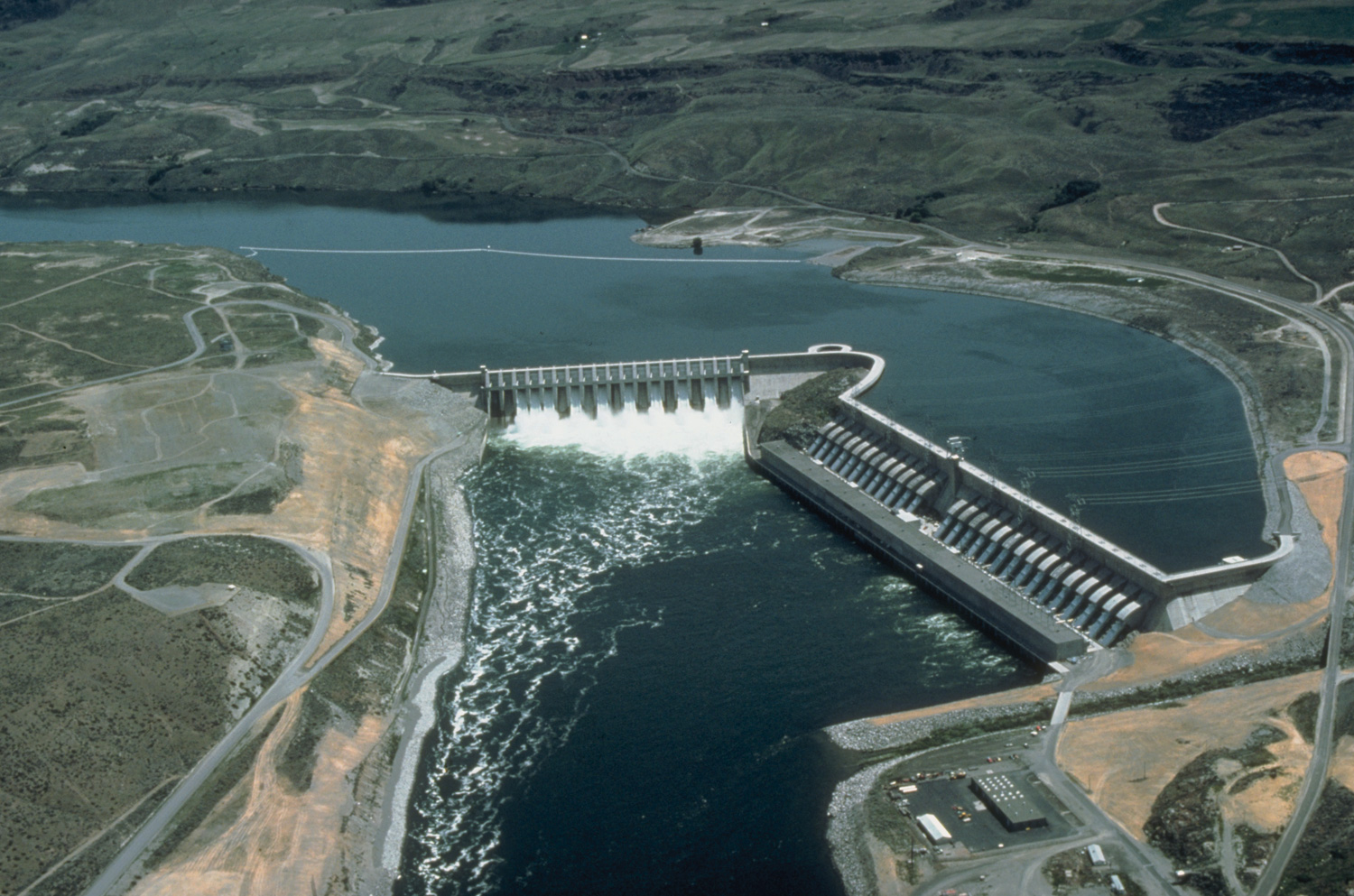
My research topic has finally been finalized! I was completely aware of the fact that the initial research proposal is likely to change even though you fall in love with the original research theme. Same thing happened with me but I am okay since this topic is pretty interesting too. Of course I have to use the softwares and do few cool computer programming tricks. Since I had to do that in my previous research also, it is not that bad.  Initially it was related to simulating environmental flows on regulated rivers and now, the topic is more inclined towards the measurement of stream metabolism such as Gross Primary Productivity (GPP) and Community Respiration (CR) with a software known as BASE (BAyesian Single - Station Estimation) developed by Grace et al*. in 2015 in the rivers of Japan.  As of now, I, who has never used 'R' programming, am struggling with the installation of OpenBUGS. Since my the OS of my laptop is in Japanese I am finding it difficult to deciphe

Connecting Flow and Ecology in the Koshi Basin (and beyond) to aid Integrated Water Resource Management – Workshop 4‐5 February 2016

Image
A workshop was held to better understand the relationship between flows and ecology at Kathmandu, Nepal. This workshop was organised by CSIRO (Commonwealth Scientific and Industrial Research Organization), BCN (Bird Conservation Nepal) and ICIMOD (International Center for Integrated Mountain Development). The organizers of this workshop shared shared their thoughts about this program and they hoped to, Have this workshop as a knowledge base to understand further about the relationship between flow ecology in the Koshi River Basin in particular.  Discuss among the different experts of Aquatic Ecosystem present and hopefully, bring a scientific evidence to pledge the Government of Nepal to change the policy. Key questions: What else do we need to know to maintain the flow and ecological assets?  Conceptual models have been created and it was discovered that scientists liked the conceptualization as they gave current understanding of the relationship between flow and

Methodologies of Environmental Flow Assessment (Part One)

Image
Last time, I had introduced about eflows and why they are important for river management. This article will briefly discuss the methodologies in measuring eflows. Measuring eflows vary widely. Different methodologies are available for measuring eflows. Eflows measurement can be done according to the spatial nature of the research you are doing- i.e. how big is your study site- is it a small river stretch? Or does it cover an entire river basin? Or, methodologies could also vary depending upon the temporal scale- i.e. the time frame of your research. Are you planning to collect a two years weekly data or are you using 20 yearlong monthly data? According to Arthington et al. (2003), the methodologies could also be rapid reconnaissance level (preliminary survey or research) approach for regional, national or basin wide water resource planning to resource intensive methodologies for highly exploited rivers which have been used extensively or rivers of high conservation significance.

Introducing Eflows

Image
Originally published in anotherverse I first heard about “eflows” when I was working as an intern. Unacquainted with the term, I researched about it only to discover its interesting theory was closely related to my undergrad thesis work. This essay is an attempt to introduce eflows and their importance. People are dependent on dams for many purposes. Dams are built to control flood, to irrigate agricultural lands, navigate water supply, for hydroelectric purposes and also for recreation. While they provide crucial services for mankind, they also prohibit the natural flow of the water bodies. There are periods where river ceases to flow, to those periods where the rivers flow full and flash out to the sea. Specific patterns of flows support ecosystem services provided by the river system. These are important naturally occurring events. Flood pulses help move the river sediment to the plains. Seasonal inundation of floodplains and wetlands support ground wate